
DVOA Event Schedule
We use online preregistration for all of our events; pre-registration costs less than registering on the day of the event. Links to register are listed below. Deadline to register is normally the Thursday before the event.
Event fees (preregistration and day-of) are listed in the DVOA pricing sheet.
Walk in day-of-event registration may be available unless otherwise noted, but map/course selection may be limited.
See below for a note about risks you assume while orienteering, including Covid-19 information.
W Y O Br G R
 Volunteer to help at this event

Course Setter: Brennen Hall
Pre-register Here or Check Who's Registered
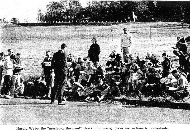
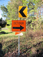
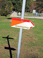
Directions: From Lancaster follow Rt. 30 West to Rt. 24 North (Mt. Zion Rd.). Take Rt. 24 north to top of hill and make a right onto Deininger Rd. Watch for O'-signs.
Courses Information:
| Course | Distance | Climb | Ctrls |
|---|---|---|---|
| White | 2.50km | 65.0m | 12 |
| Yellow | 3.60km | 90.0m | 11 |
| Orange | 4.30km | 115.0m | 12 |
| Brown | 4.10km | 85.0m | 10 |
| Green | 5.50km | 140.0m | 10 |
| Red | 6.60km | 215.0m | 14 |
Course Setter: Bob Agosta
Pre-register Here or Check Who's Registered
Notes: New Mapped area of the Park by JJ Cote, Control Pick up will begin at 2 pm since we will be dark by 4:30 pm.
Directions: From US Rt. 30 Bypass north of Coatesville, take PA Rt. 82 north. Watch for left turn at top of hill. Follow O'-signs.
ED/CS Notes:
We will debut a completely new, updated map this year for Hibernia County Park, including a never before used southern section of the park that features expansive white woods. Thanks to J-J Cote and Eric Weyman who worked through Winter 2025/2026 and Spring 2026 to field check and draft the new map!
Registration and parking for the event will be located at the Chambers Lake boat ramp area off of Wagontown Road. This will allow closer access for Intermediate and Advanced courses to the new southern section of the park. Courses will cross Wagontown Road at various points. Please use caution when crossing this active vehicular roadway. Traffic is usually light. Also, please do not cross into private properties and out-of-bounds areas as indicated on the map.
Rough open and light green mapped areas are very run-able at this time of the year. Root stocks, 1 meter or larger, have been added to the map using the IOF standard green X.
Enjoy!
Bob Agosta, Course Setter
Steve Ohrwaschel, Event Director
Courses Information:
| Course | Distance | Climb | Ctrls |
|---|---|---|---|
| White | 1.70km | 50.0m | 10 |
| Yellow | 2.60km | 80.0m | 12 |
| Orange | 4.80km | 140.0m | 18 |
| Brown | 4.00km | 85.0m | 12 |
| Green | 5.90km | 180.0m | 19 |
| Red | 7.00km | 205.0m | 25 |
Course Setter: Patrick Shannon
Directions: From S on US 1, or exit 9 on the NJTPK , take NJ-18 N to Davidson Road/Metlar's Lane, right on Ave E look for O signs. From N on 287 take Centennial Ave to Hoes Lane, exit at Davidson/Avenue E campus exit, bear left Over Rt-18 and follow O signs.
Co-Director: Victor Frolenko
Course Setter: Francis Hogle
Notes: Mid-Atlantics Championships - Indvidual, and Relay. Run for your club!
Directions: From I-95 take DE Rt.896 South. Go to Old Baltimore Pike and take a Right, West on Baltimore Pike. The park entrance and then the church parking will be on your right. Follow the O'-signs.
Courses Information:
| Course | Distance | Climb | Ctrls |
|---|---|---|---|
| White | 2.00km | 105.0m | 12 |
| Yellow | 3.10km | 205.0m | 10 |
| Orange | 3.00km | 145.0m | 9 |
| Brown | 3.50km | 145.0m | 9 |
| Green | 4.70km | 230.0m | 14 |
| Red | 7.50km | 320.0m | 18 |
Course Setter:
Notes: Pre-registration required. See OUSA National event schedule for link.
Course Setter:
Directions: From N & W: NJ Turnpike Exit 8 to Rt 33 East for 5 mi. Rt 527Alt North/Iron Ore Rd. From E: Garden St Pkwy Exit 100A to Rt 33 W for 16 mi. to Rt 527Alt/Iron Ore Rd. Then North 1/4 mile on 527Alt to Quail Hill sign, turn right onto Le Valley Rd into camp.
Course Setter:
Directions: Follow PA Rt.23 to Rt.345, take Rt.345 north and watch for O'-signs.
Course Setter:
Directions: Follow PA Rt.23 to Rt.345, take Rt.345 north and watch for O'-signs.
Course Setter:
Directions: Follow PA Rt.23 to Rt.345, take Rt.345 north and watch for O'-signs.
Course Setter:
Notes: Merit Badge Weekend for Scouting USA and regular event
Course Setter:
Course Setter:
Notes: 10 am beginner instructions, 11 am white course. should be done by noon.
Directions: From PA Rt. 422, 8 miles west of Pottstown, go north at Baumstown on Daniel Boone Road. Follow O'-signs from Rt. 422.
Course Setter:
Notes: MASOC
Directions: Follow PA Rt.23 to Rt.345, take Rt.345 north and watch for O'-signs.
Course Setter:
Notes: 2027 Montgomery County Senior Games.
Directions: South side of Germantown Pike, midway between 202 and 363, just east of the crossing with Whitehall Road.
Course Setter:
Notes: Instructional program. 10 am instructions then a white course at 11 am. Should be completed by 12 noon.
Directions: From PA Rt. 422, 8 miles west of Pottstown, go north at Baumstown on Daniel Boone Road. Follow O'-signs from Rt. 422.
A Message to our Membership and Orienteering Friends:
- Outdoor activies, including Orienteering have some inherent risks, and we ask that you assume those risks when you are out and about. These risks include both physical hazards, such as the rocks, stick and logs in our parks, as well as a risk of catching something from another person outside, including Covid-19.
- For a more isolated orienteering experience - our Permanent Courses await you any time*. (*Check with the specific park for their opening hours.)
- We also will continue to respect local COVID regulations - see specific event information for anything uncommon or changed vs. the new-normal expectations.
- Mask usage: Please continue to respect other Orienteers & Volunteers who have different COVID strategies than you do. At our registration, check-in and download areas in particular, please be respectful and keep your distance and/or wear your mask if they are masked.
- Starts: When you register for a specific start window, please aim to arrive in that timeframe. It helps spread out starters, and ensures participants don't have to wait very long to get out on their course.
- Online-pre-registration: watch for the deadlines a day or two before the event. Pre-registration ensures there will be a map available for you, and costs less than registering on the day of the event.
- If you miss the pre-registration, onsite registration is generally available at day-of pricing (see the DVOA pricing sheet), and you can check with the Event Director to confirm.
- Should you have any questions regarding a specific event, please feel free to click on the event director to clarify any specific needs you have.